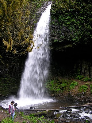
We began our hike at the trailhead of Elowah Falls.
 It's been a while since I have hiked in the Columbia Gorge. Here we are getting ready to hit the trail.
 We enjoyed having Maeve and Wycliffe along on the hike. I think we were able to tire them out by the end of the day.
Elowah Falls

Taking pictures of the falls and enjoying the beauty of the gorge.

Elowah Falls


The trail was in great condition and made it an easy hike.


Family Fun

Family Activity

Latourell FallsLocation: Columbia River Gorge National Scenic Area, Bridal Veil, Guy W. Talbot State Park, Multnomah County Height: 249 ft. Access:   Distance: n/a Elevation: 150 ft. Season: Mar-Jun Difficulty:  Lat/Long:45.53691, -122.21847 Directions:Going east along I-84, take exit 28 at Bridal Veil (28 miles east of Portland). Drive 3.2 miles west along the Columbia Gorge Scenic Hwy |

Trail to Upper Latourell Falls

Upper Latourell Falls


Getting ready to return to the car
.
 To gain a perspective of the size of this falls be sure to see the bridge crossing the creek.
